Introduction
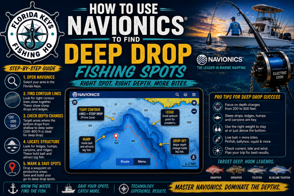
Finding productive deep drop fishing spots can be one of the biggest challenges for offshore anglers. Fortunately, tools like Navionics make it possible to identify underwater structure, ledges, drop-offs, and contour changes that often hold fish.
Learning how to read contour lines properly can dramatically improve your success when targeting species such as snowy grouper, tilefish, queen snapper, and other deep-water fish.
Why Contour Lines Matter
Contour lines represent changes in water depth. The closer the contour lines are together, the steeper the underwater structure.
Deep-water species are often found near:
- Ledges
- Drop-offs
- Rock piles
- Bottom humps
- Sharp depth changes
These structures create current breaks and feeding opportunities that attract bait and predator fish.
Identifying Productive Ledges
One of the easiest ways to find potential deep drop spots is by locating steep contour changes.
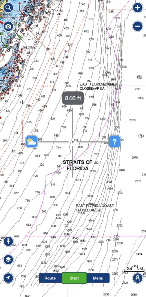
For example, a depth change from 600 feet to 800 feet over a short distance often indicates a ledge.
Snowy grouper frequently hold along these edges, especially where current pushes bait across the structure.
Finding Bottom Humps
Bottom humps appear on Navionics as isolated areas where the depth becomes shallower before dropping back off.
These humps can act as feeding stations for deep-water species.
When examining a chart, look for:
- Circular contour patterns
- Isolated high spots
- Areas surrounded by deeper water
These locations are often worth saving as waypoints.
Using Sonar with Navionics
Navionics helps identify potential structure, but sonar confirms what is actually below the boat.
After locating a promising ledge or hump on Navionics:
- Approach from down-current.
- Idle across the structure.
- Watch for bait concentrations.
- Look for hard bottom returns.
- Mark additional waypoints.
Combining chart data with sonar observations often reveals productive fishing areas that are not obvious from charts alone.
Best Depths for Snowy Grouper
In the Florida Keys, snowy grouper are commonly found in depths ranging from 500 to over 1,200 feet.
Focus on:
- Ledges
- Contour breaks
- Rocky bottom
- Current-swept structure
Many productive spots are located where depth changes occur near deep offshore canyons and slope edges.
Common Mistakes
Many anglers make the mistake of dropping directly on the deepest water available.
Instead, focus on structure within that depth range.
Fish are usually concentrated around features rather than featureless bottom.
Another mistake is failing to account for current and drift direction. A good structure spot can fish poorly if your drift never passes over the productive area.
Final Thoughts
Navionics is one of the most valuable tools available to offshore anglers. By learning how to identify contour changes, ledges, humps, and bottom structure, you can dramatically improve your ability to locate productive deep drop fishing spots.
Whether targeting snowy grouper, tilefish, or other deep-water species, understanding chart interpretation is a skill that pays dividends on every offshore trip.
For more deep drop fishing tips, check out our Snowy Grouper Rig Setup (2026 Guide).